


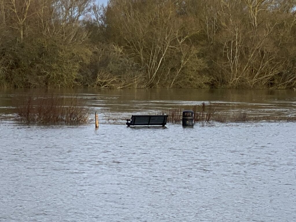
HEAVY rainfall has seen the River Thames burst its banks after reaching its highest level ever recorded.
The river normally has a range of between 6.58m and 7m, but at 6.45pm on Sunday, January 7, a height of 7.53m was recorded.
This is nearly 20cm higher than the previous record of 7.41m, set on January 4, 2003.
Homes can be flooded once the water levels go above 7.25m.

Reading Borough Council has already issued a warning for people to avoid trying to get through footpaths that are underwater – and also Christchurch Meadows in Caversham, which is also submerged.
Affected areas include the canal towpath in Kennetside. This links Newtown with Thames Valley Park, which is completely submerged.
It is not possible to cross the Horseshoe Bridge to Kings Meadow, nor use the Biscuit Tunnel from Kenavon Road to Napier Road.
Napier Road has also been underwater today.
The footpath on Cow Lane is also impassable.
There are reports that residents living between the town’s two bridges – Caversham Bridge and Reading Bridge – are unable to leave their apartments.
Scours Lane in Tilehurst has been closed as the area is underwater.
Rush hour tomorrow morning will be complicated by the closure of Thames Street in Sonning, which means the bridge connecting Playhatch to Woodley will be closed.
Sandford Lane in Hurst is closed. The road close to Dinton Pastures usually floods, as does Mill Lane in Sindlesham.

