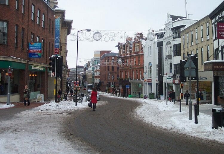
READING could see snow and icy conditions as early as this evening according to the latest announcement from the MET Office.
A Yellow warning of snow and ice has been put in place across central England and parts of Scotland.
The affected areas stretch from St David’s in west Wales to Norwich in east England, as far north as Wolverhampton, and as far south as Salisbury.
With temperatures in Reading set to reach close to freezing on the morning of Tuesday, March 6, snow is currently expected at around 3am.
Temperatures are expected to hit lows of -5°C on Wednesday, March 6, before warming up again later in the week.
Snow and icy temperatures could cause traffic disruption and difficult conditions on roads, with some train and bus services likely to be affected.
The MET Office recommends that drivers avoid travelling in icy conditions unless absolutely necessary, and to proceed carefully whenever doing so.
Deputy Chief Meteorologist, Chris Almond, said: “Very cold air will spread across the UK from late on Sunday through early next week. This brings with it snow even to low levels in the north and east through Monday and Tuesday, and in excess of 10cm could accumulate, most likely on high ground in the north, but also settling for a time at lower levels.
“With freezing overnight temperatures and the risk of ice, there’s a risk of some travel disruption and wintry hazards are likely to persist through much of next week, even further south for a time, so keep an eye on the Met Office forecast for the latest information.”
Full details about the weather warning and safety advice is available from the MET Office via: metoffice.gov.uk/weather/warnings-and-advice/


