


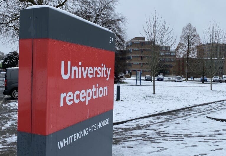
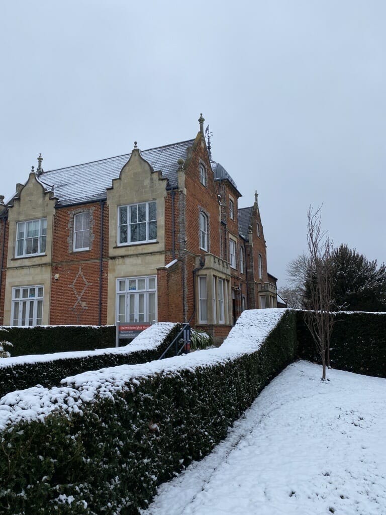
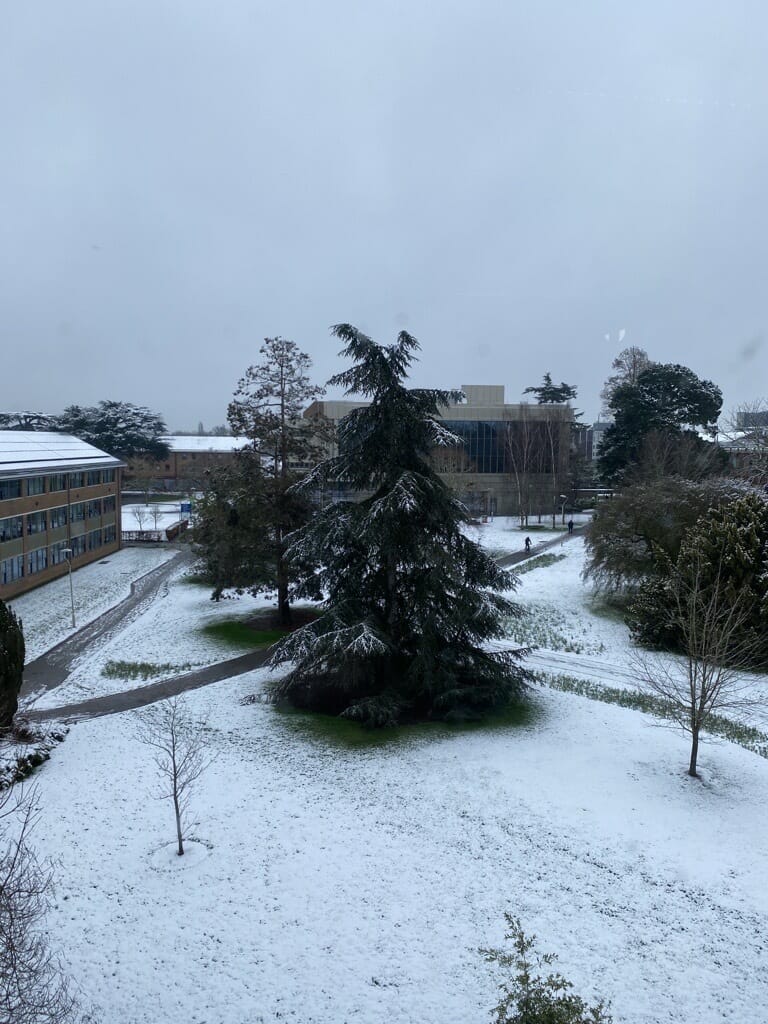
THE UNIVERSITY of Reading could have been mistaken for a winter wonderland on March 8, as snow descended on its Whiteknights campus.
Despite the picturesque scenes, the university confirmed no depth records were broken at its atmospheric observatory.
Dr Stephen Burt, from the university’s Department of Meteorology, said: “The snow depth at the university’s Atmospheric Observatory this morning was measured as 2 cm, with 5.1 mm of precipitation.
“This means we’ve had deeper snow on 17 mornings within the last 10 years on the observatory record, the greatest depth in that time being 9 cm on January 19, 2013.”
There were reports late last week that snow was coming to the south-east, but it was not clear as to when it would fall.
Dr Rob Thompson, postdoctoral research scientist in meteorology, explained: “The UK’s erratic winter weather is caused by two things: its location and the fact that small differences in temperature can cause dramatic changes to the forecast.
“The UK is located right where a number of different global weather systems converge. Unlike many places in the world, freezing weather in Britain is generally accompanied by northerly or easterly winds.
“But heavy precipitation (liquid or frozen water) is usually from the west. Colder weather in the UK makes precipitation less likely. Which is why if we see snow, it often arrives as a light shower or flurry. Thick snow usually happens when precipitation from the west hits cold air from the east or north.”
“Forecasters today can predict widespread precipitation down to the hour. So mapping out wet weather is not the problem. The issue is that British winters make it a lot harder to tell what form precipitation will take when it reaches us.
“This means predicting whether we will get sleet, freezing rain, snow or just rain. A small difference in temperature makes a really big difference to the outcome.”


