


Residents of Wokingham, Reading, Winnersh, Earley and across Berkshire are asking the same question as winter grips the UK: are we likely to see snow and ice this coming week?
Here’s the latest from the Met Office and regional forecasts.
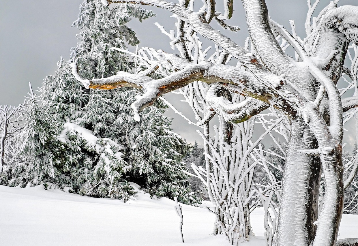
Cold conditions continue, but widespread snow unlikely
Across Berkshire, the current weather pattern shows cold temperatures lasting into the early part of the week, with highs often staying around freezing or just above and overnight lows dipping below zero. Local forecasts from Met Office reporting areas such as Living Rainforest and Pangbourne indicate daytime temperatures generally between 2–4°C, with overnight feels-like temperatures significantly lower due to frost. Snow chance at ground level is very low — typically under 5–10% — although isolated wintry showers cannot be entirely ruled out, particularly early in the morning or late at night.
What this means on the ground for places like Reading, Wokingham and Earley is that significant snow accumulation looks unlikely this week. Instead, frost and ice are the main concerns, especially on untreated surfaces in the early mornings. Roads and pavements could become slippery before sunrise, even without measurable snowfall.
Why snow isn’t a foregone conclusion in the south
Across the UK, weather warnings for snow and ice remain in force in a number of regions as Arctic air sweeps southward — but these are strongest in parts of Scotland, Northern Ireland and northern England. The Met Office has confirmed a network of Yellow National Severe Weather Warnings for snow and ice across much of the UK, but the depth and frequency of snow decreases the further south you go.
Southern and central England is forecast to experience very cold weather with potential wintry showers, but any snow is more likely at higher elevations or as brief, light flurries rather than substantive lying snow. If moisture or fronts move in at just the right time, there could be brief snow showers, but confidence in widespread snow in Berkshire remains low at present.
Ice — the bigger hazard this week
While a snowy scene would make for striking photos, the greater concern for Berkshire this week is ice. Even with limited snowfall, sub-zero overnight temperatures mean frost and black ice are likely, especially during the dark hours. This can make driving and walking treacherous, particularly on untreated roads and paths.
Forecast guidance suggests wintry showers remain possible through midweek, but daytime temperatures then rise gradually later in the week, increasing the likelihood of rain rather than snow by Thursday and Friday.
What to watch for
– Frost and ice each morning: likely across Berkshire, especially Tuesday and Wednesday.
– Brief wintry showers possible in parts of the week, but not heavy snow.


