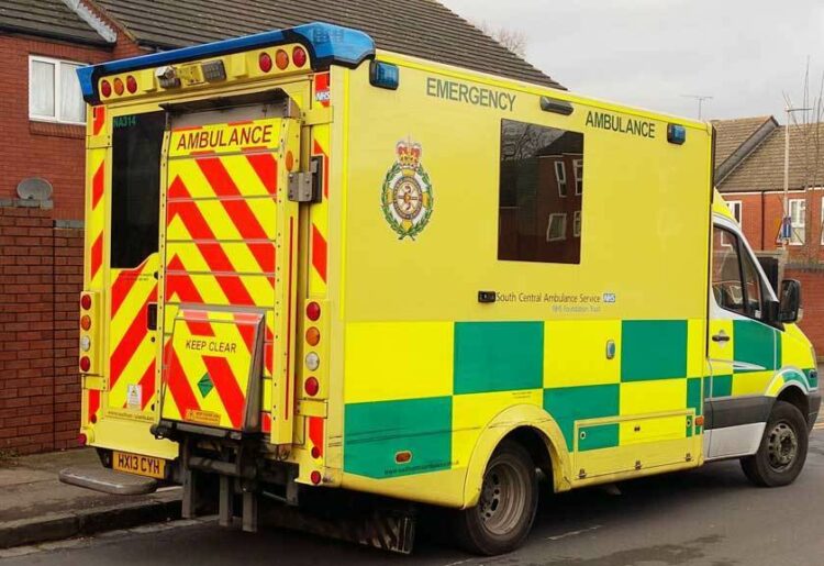
SOUTH CENTRAL Ambulance Service NHS Foundation Trust (SCAS) is set to work with Ordnance Survey (OS) on a trial to maximise the efficiency of ambulances aimed at improving fleets across the country.
SCAS operates across Berkshire, Buckinghamshire, Hampshire and Oxfordshire, and has a fleet of over 300 emergency response vehicles, nearly 99% of which are deployed at any time.
Available NHS funding dictates a finite number of ambulances in the fleet, with new, fully-equipped vehicles costing around £200,000 on-the-road each. Therefore the priority for the trust is to maximise the efficiency of each ambulance.
To ensure life-saving support is available, it is vital to the trust that its ambulance fleet is well maintained and reliable.
SCAS has been looking at ways to maximise efficiency by minimising those times when ambulances must be taken off the road for unforeseen maintenance.
Based on a methodology already seen in the aviation industry, SCAS is working with OS, data integration, analytics and AI company Qlik, and Differentia Consulting to develop a predictive maintenance model for its vehicles.
The model will allow the trust to efficiently schedule maintenance before a vehicle succumbs to larger, possibly long-term failures.
Each ambulance contains two telemetric trackers– the engine tracker, which monitors internal conditions such as engine temperature and clutch usage, as well as location, lights and other electricals; and the cab tracker linked to the 999-control room.
SCAS then looked at building both analytical and predictive models aimed at considering the probability of an ambulance needing servicing.
These will monitoring telemetry and the state of vehicles returning from shift and the state of vehicles returning from shift.
OS has been tasked with combining this telematics data with geospatial data, which can open up new analytical insight on how road and journey characteristics could influence wear on a vehicle.
SCAS first asked OS to take telematics for the whole fleet and map journeys, observing the road types, average speeds, gradient, sinuosity (the curvature of the road), and rural versus urban nature of the routes being taken.
Factors such as driving uphill can cause the engine to overheat, leading to significant strain on the engine components.
Other considerations include the effects of harsh braking and acceleration on vehicles. Another question is whether there are any junctions where vehicles experience greater stress.
By combining geospatial data with maintenance data, SCAS can build a predictive model to answer these questions.
Vivienne Parsons, senior management information analyst at SCAS, said: “As well as the purchasing, conversion and equipment costs to get each ambulance on the road, it takes 12 members of staff to cover each vehicle’s weekly operational rota, all with their own associated recruitment, training and university costs.
“Looking for other ways to innovate and improve service delivery and patient experience has led us to consider the wealth of data we capture from our vehicles.
“I am really excited to see what story we will be able to tell from the data and the impact this can have.
“The help we are being offered by working collaboratively with OS, Qlik and Differentia Consulting is amazing; they are a key part of our analytical journey, providing the insight and expertise that we do not have.”
James Armstrong, geospatial consultant at OS, said: “Ambulance services are already dedicated users of OS geospatial data, but it’s exciting to know that applying our data to this new model has great potential to improve the efficiency of the SCAS fleet, ultimately enhancing its ability to provide urgent care to those in need.
“It’s incredibly rewarding for OS to be part of this project and potentially help to apply it across other emergency services fleets longer term.”


