


HUNDREDS of photos of Berkshire in the early 20th century have been made available online for the first time.
The new Historic England aerial photograph explorer tool allows users to search more than 400,000 images taken from the sky, with some from as early as 1919.
It means that the public can get a bird’s eye view of the changing urban and rural landscape of the county over the past 100 years.
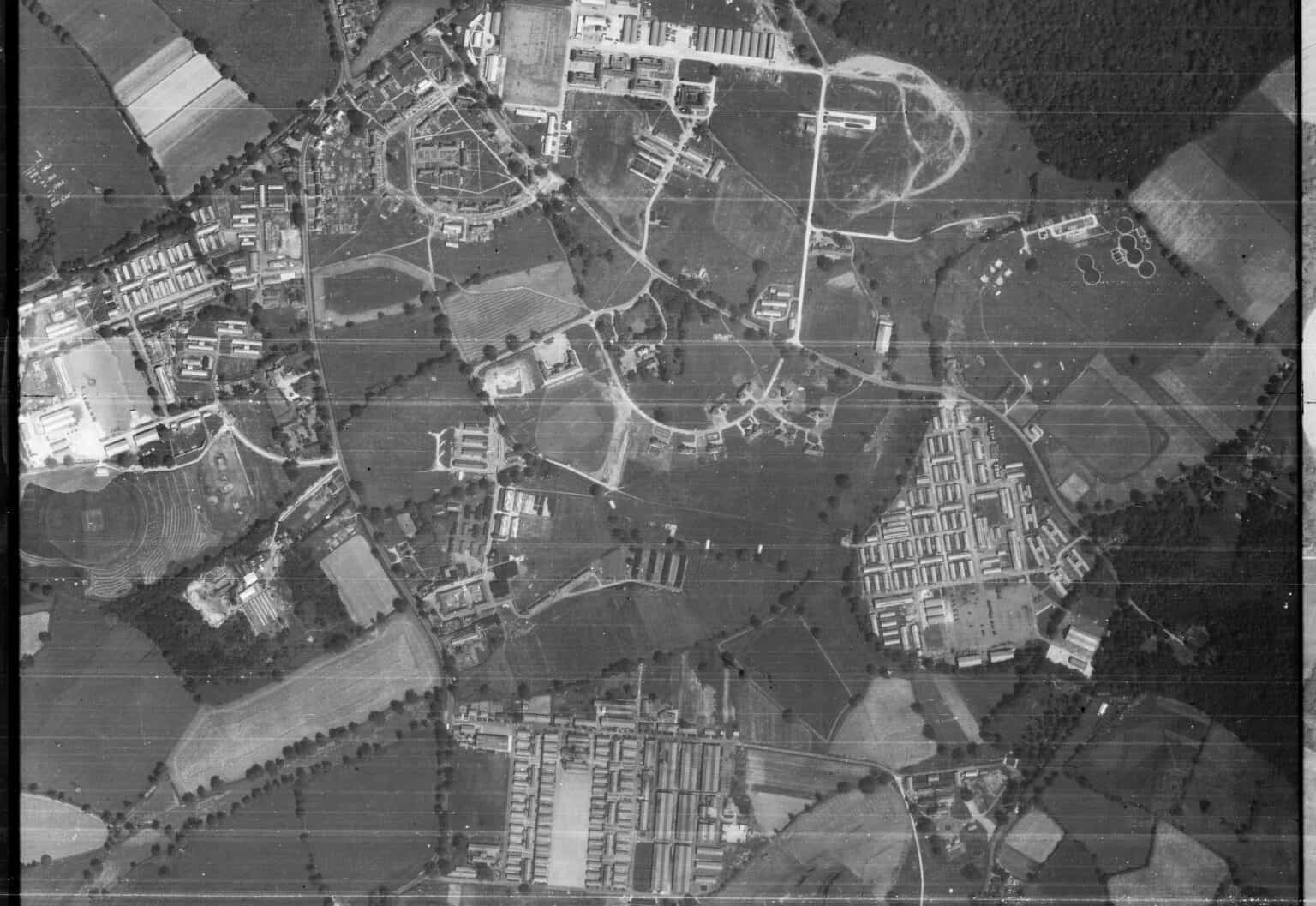
Many of the photographs show military defences and 20th century industrial sites, both before and after the second world war. Some of these have since been developed for housing or shopping centres as the population of Reading and Wokingham boroughs grew.
For example, an RAF photo taken in 1946 shows Arborfield Garrison as it was shortly after the end of the second world war, and four years after the training base of the Corps of Royal Electrical and Mechanical Engineers was established there. The area is now being developed for a new community of 4,000 homes.
Duncan Wilson, chief executive of Historic England, said that he is “delighted” with the online tool.
“It will allow people to access easily our wonderful collection of aerial images and enjoy using historic photography to unlock the mysteries of England’s past,” he adds.
It is hoped that the aerial photograph explorer tool will encourage people to make their own discoveries about their local areas, and provide a resource for planning applications, heritage projects and archaeological investigation.
Other photos available as part of the collection show Reading Aerodrome in Woodley as it was in 1932, shortly after Douglas Badar lost both of his legs in an accident flying aerobatics there. Also online are images taken by the RAF in 1946, of the Suttons Seeds beds and gas towers of Reading east.
An Aerofilms Ltd image taken over Reading in 1932 shows Messrs H G Simonds brewery on the river Kennet, where the Oracle shopping centre now stands. Also visible are the station, St Mary’s the Minster Church and the town square around St Laurence’s Church — which was destroyed by bombing in February 1943.
For those interested in areas further afield, some pictures show second world war bomb damage over Southampton and Liverpool, and there are views of St James’ Park in Newcastle as it stood in 1927. Archaeological features such as a Neolithic long barrows, Iron Age forts and medieval villages can also be seen.
Historic England aims to expand the platform in the future with a project to digitise 6,000,000 aerial images held in its archive.
The aerial photography explorer joins the recently launched aerial archaeology mapping explorer.
For more information, or to view the archive, visit: historicengland.org.uk/aerialphotos
More of Berkshire’s past from above can be explored at Berkshire Record Office on Coley Avenue, Reading. It holds eight series of aerial photographs taken by Berkshire County Council between 1964 and 1996.
For more information, visit: berkshirerecordoffice.org.uk

